
Run your network on live data.
One console for every vehicle, busy area and gap in service. Built for transport authorities, city bus services and fleet operators.
Swipe to explore the console
Capabilities.
The console stays connected to the fleet, so what you see on screen is what’s happening on the road.
Every action in it, from an alert to a dispatch, is recorded.
- 01
Live fleet map
Every active vehicle in real time, coloured by status: on a trip, available or idle. Click one to see its last GPS update.
- 02
Demand heatmap
Expected rider demand on a hexagon grid, by sub-city and hour, updated every five minutes.
- 03
Peak alerts
Up to 30 minutes before a busy period, the console names the area, the number of vehicles needed and which ones to send.
- 04
Dispatch suggestions
Accept the suggested assignments in one click or change them by hand. Every dispatch is logged.
- 05
Coverage gaps
See where demand has outrun supply in the last 15 minutes, ranked by urgency.
- 06
Sub-city reports
Hourly demand for all 10 sub-cities, use per vehicle, and PDF reports ready for the transport authority.
Peak-time planning.
A demand model trained on time, day and past patterns flags busy periods half an hour ahead.
It then works out which vehicles should go where, so they arrive just in time.
- −30 min
Forecast
The demand model expects three times the usual number of riders around Megenagna.
- −25 min
Alert
The console highlights the area and the four vehicles best placed to help.
- −20 min
Dispatch
One click sends those drivers their new positions.
- −10 min
Repositioning
Drivers head over while the heatmap updates live.
- Peak
Arrival
When the crowd arrives, the vehicles are already there.
Who it’s for.
Anyone responsible for moving people around Addis Ababa, at any fleet size.
-
Transport authorities
Live evidence for planning and investment, with reports ready to submit.
-
City bus services
Arrival times for riders and smarter dispatch across large fleets and fixed routes.
-
Private fleets
Minibus and taxi operators who want their vehicles where the riders actually are.
The network.
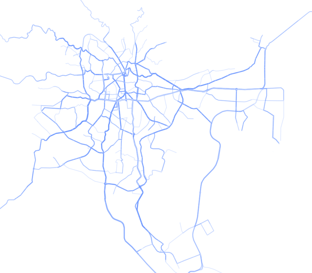
SmartLink comes with every bus and light-rail route in Addis Ababa already mapped.
It reads standard GTFS files, so your own routes and stops can be added.
See your network in real time.
Plans depend on the size of your fleet. Tell us about your network and we’ll arrange a walkthrough or a pilot.